
File:Mokhotlong-Matsoaing-village-eastern-Lesotho.jpg
File on Landrace.wiki
More actions
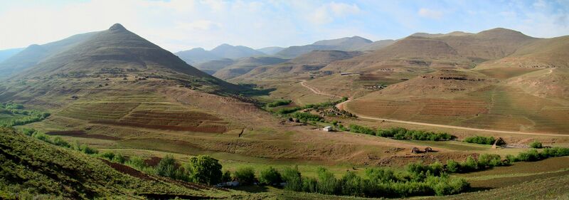
Size of this preview: 800 × 281 pixels. Other resolution: 2,048 × 720 pixels.
Original file (2,048 × 720 pixels, file size: 489 KB, MIME type: image/jpeg)
Summary
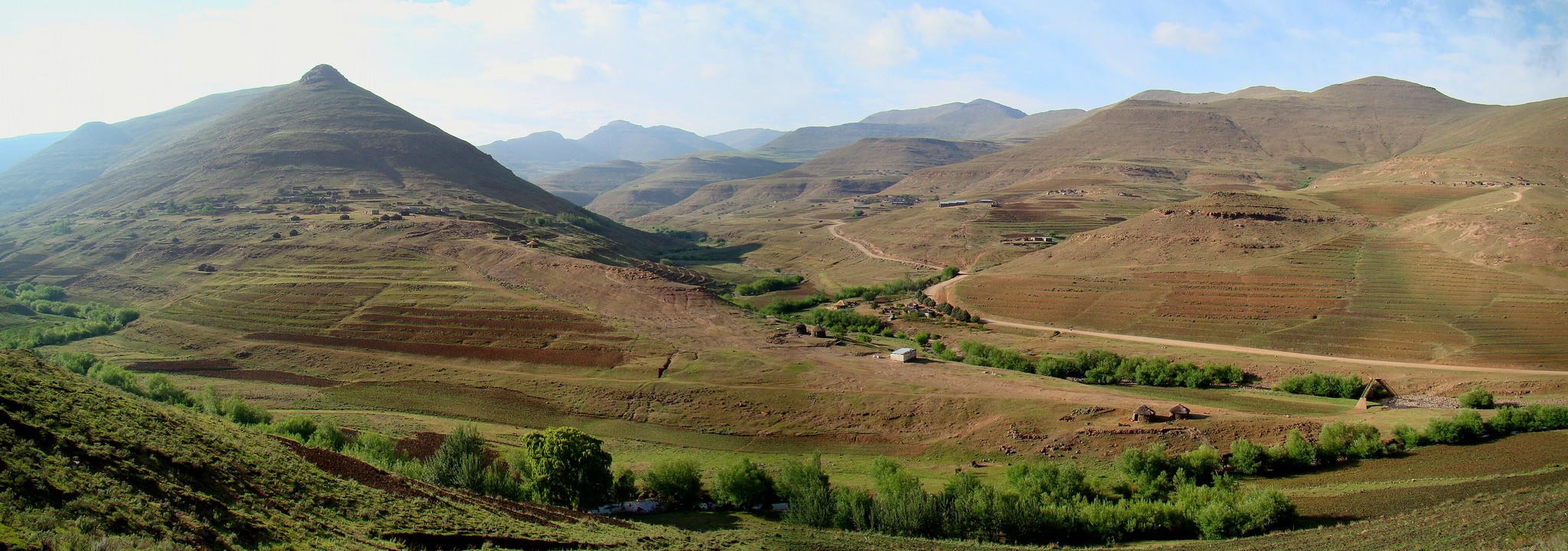
Panorama of Matsoaing village in eastern Lesotho, with terraced fields on the slopes and the road up the valley towards Sani Pass, Mokhotlong District, Lesotho.
Used as the infobox photograph of Mokhotlong.
Source
- Original: "Matsoaing village, eastern Lesotho.jpg", photograph by Bjørn Christian Tørrissen, 2009-11-17, on Wikimedia Commons.
- Changes: scaled down from 6393 × 2247 to 2048 × 720 pixels; no other change.
- Location: The Commons file carries the coordinates 29.38111° S, 29.08417° E, 18.7 km from the coordinates of Mokhotlong; The file's coordinates (-29.3811, 29.0842) fall in Mokhotlong District (OpenStreetMap), on the road from Mokhotlong town to Sani Pass in the east of the district; its Commons category is Matsoaing.

Licensing

Creative Commons Attribution-ShareAlike 3.0 Unported
This file is licensed under the CC BY-SA 3.0 licence.
You are free to: Share and adapt for any purpose, even commercially.
You must: Give appropriate credit, provide a link to the licence, indicate if changes were made, and distribute adaptations under the same or a compatible licence.
File history
Click on a date/time to view the file as it appeared at that time.
| Date/Time | Thumbnail | Dimensions | User | Comment | |
|---|---|---|---|---|---|
| current | 20:05, 29 October 2026 | | 2,048 × 720 (489 KB) | Eloise Zomia (talk | contribs) | Photograph of Mokhotlong, from Wikimedia Commons (CC BY-SA 3.0) |
You cannot overwrite this file.
File usage
The following 3 pages use this file:
