
File:Lan-Mat-uong-tu-thi-tran-Thanh-Liem-toi-thi-tran-Kien-Khe-panoramio-ngocchat1014.jpg
File on Landrace.wiki
More actions
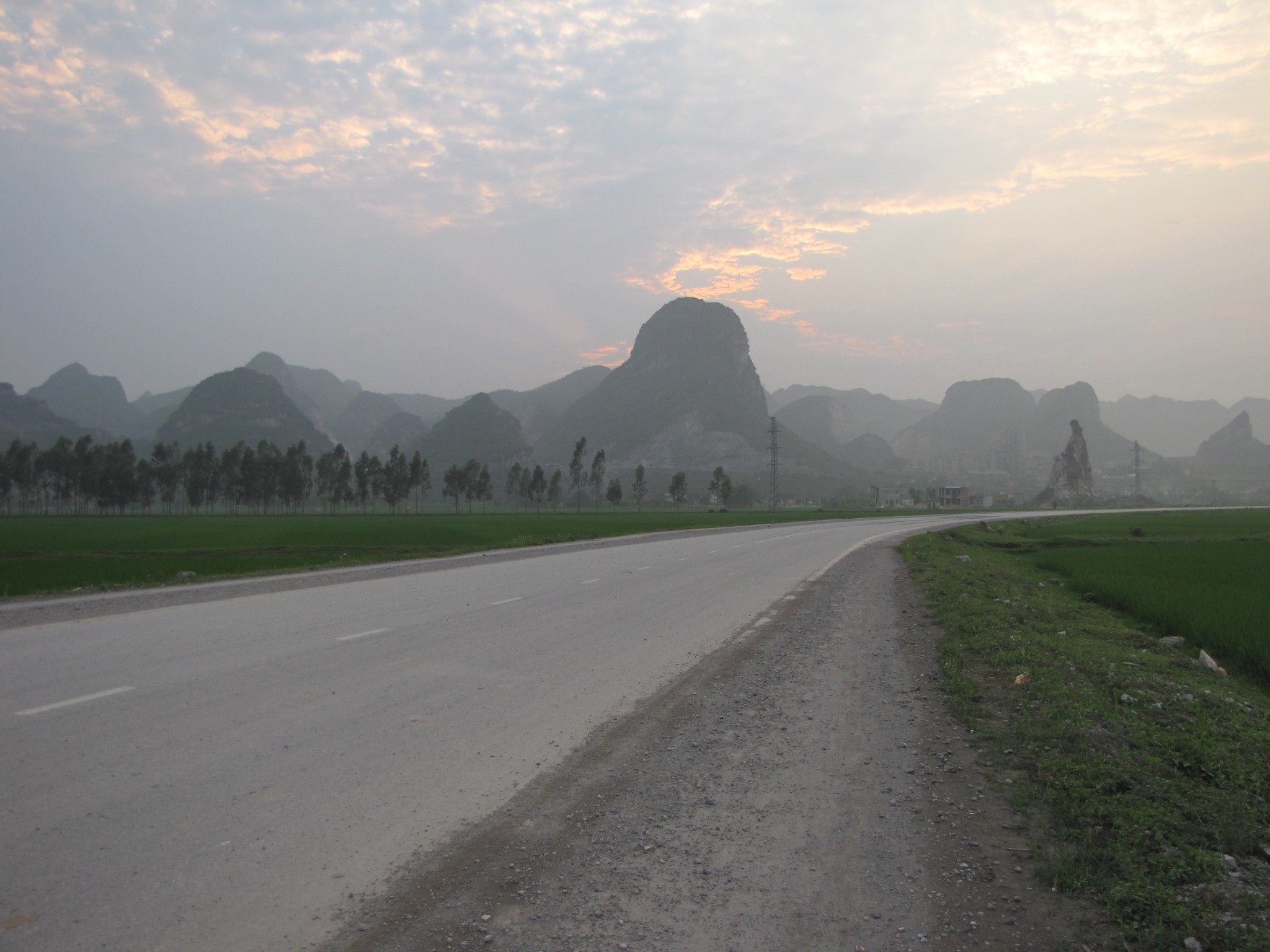
Size of this preview: 800 × 600 pixels. Other resolution: 2,048 × 1,536 pixels.
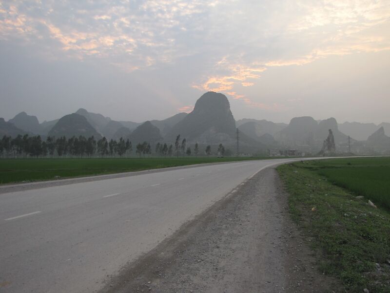
Original file (2,048 × 1,536 pixels, file size: 418 KB, MIME type: image/jpeg)
Summary
Rice fields and limestone karst peaks beside the road from Thanh Liêm town to Kiện Khê, in the former Thanh Liêm district, northern Vietnam.
Used as the infobox photograph of Lan Mát.
Source
- Original: "Đường từ thị trấn Thanh Liêm tới thị trấn Kiện Khế - panoramio - ngocchat1014.jpg", photograph by ngocchat1014, Taken on 4 April 2009, on Wikimedia Commons.
- Changes: scaled down from 3648 × 2736 to 2048 × 1536 pixels; no other change.
- Location: The Commons description names the road between Thanh Liêm and Kiện Khê towns, both in the former Thanh Liêm district the growing area approximates; its coordinates (20.497, 105.903) fall in Kiện Khê.

Licensing

Creative Commons Attribution 3.0 Unported
This file is licensed under the CC BY 3.0 licence.
You are free to: Share and adapt for any purpose, even commercially.
You must: Give appropriate credit, provide a link to the licence, and indicate if changes were made.
File history
Click on a date/time to view the file as it appeared at that time.
| Date/Time | Thumbnail | Dimensions | User | Comment | |
|---|---|---|---|---|---|
| current | 10:17, 29 October 2026 | | 2,048 × 1,536 (418 KB) | Eloise Zomia (talk | contribs) | Photograph of Lan Mát, from Wikimedia Commons (CC BY 3.0) |
You cannot overwrite this file.
File usage
The following 2 pages use this file:
