
File:Tugela-Valley-Drakensberg-16109340172.jpg
File on Landrace.wiki
More actions
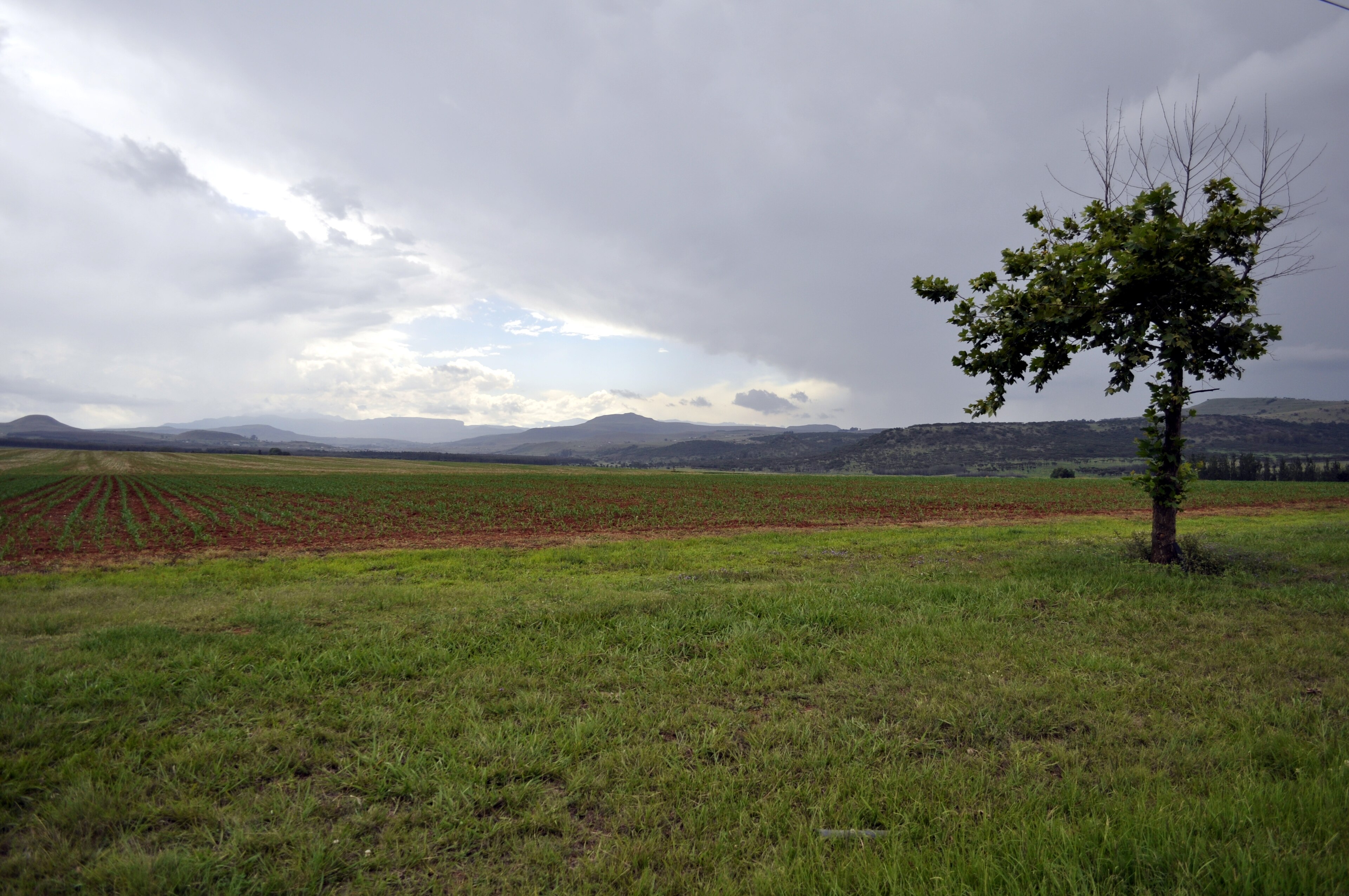
Size of this preview: 800 × 531 pixels. Other resolutions: 2,560 × 1,700 pixels | 3,840 × 2,550 pixels.
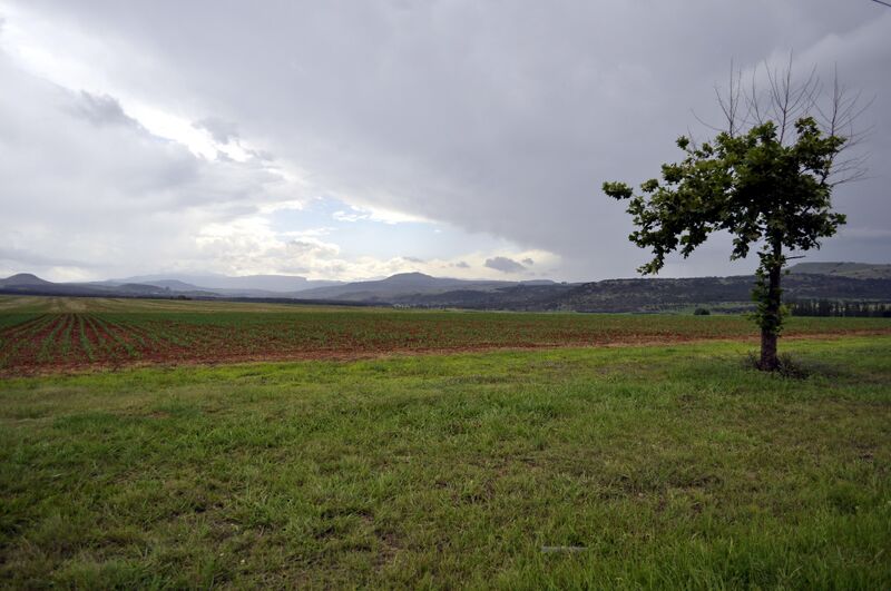
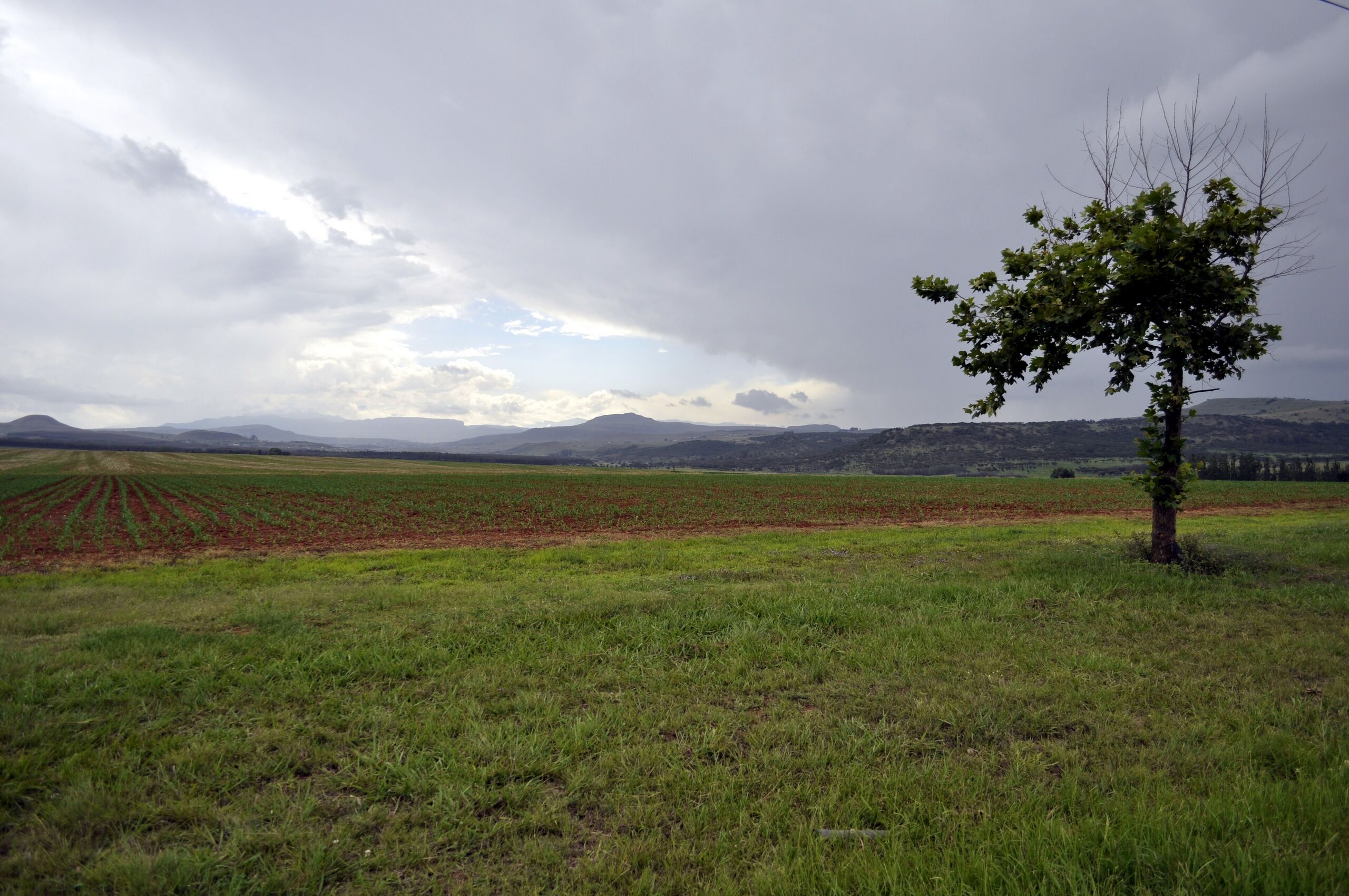
Original file (3,840 × 2,550 pixels, file size: 1.4 MB, MIME type: image/jpeg)
Summary
Drakensberg farmland in the upper Tugela basin. The Commons description reads: "KZN, South Africa"
Used as the infobox photograph of Tugela Valley.
Source
- Original: "Drakensberg (16109340172).jpg", by Darren Glanville from Acle, Norfolk, UK, 2014-12-22 12:42, on Wikimedia Commons.
- Changes: scaled down from 4288 × 2848 to 3840 × 2550 pixels; no other change.
- Location: Commons coordinates -28.833696, 29.490566 (near Bergville in the upper uThukela catchment); description 'KZN, South Africa'; title 'Drakensberg'.

Licensing

Creative Commons Attribution-ShareAlike 2.0 Generic
This file is licensed under the CC BY-SA 2.0 licence.
You are free to: Share and adapt for any purpose, even commercially.
You must: Give appropriate credit, provide a link to the licence, indicate if changes were made, and distribute adaptations under the same or a compatible licence.
File history
Click on a date/time to view the file as it appeared at that time.
| Date/Time | Thumbnail | Dimensions | User | Comment | |
|---|---|---|---|---|---|
| current | 19:41, 30 October 2026 | | 3,840 × 2,550 (1.4 MB) | Eloise Zomia (talk | contribs) | Photograph of Tugela Valley, from Wikimedia Commons (CC BY-SA 2.0) |
You cannot overwrite this file.
File usage
The following 2 pages use this file:
