
File:Trinidad-and-Tobago-Bocas-del-Dragon-Admiralty-chart-1838.jpg
File on Landrace.wiki
More actions
Size of this preview: 800 × 566 pixels. Other resolution: 1,280 × 906 pixels.
Original file (1,280 × 906 pixels, file size: 263 KB, MIME type: image/jpeg)
Summary
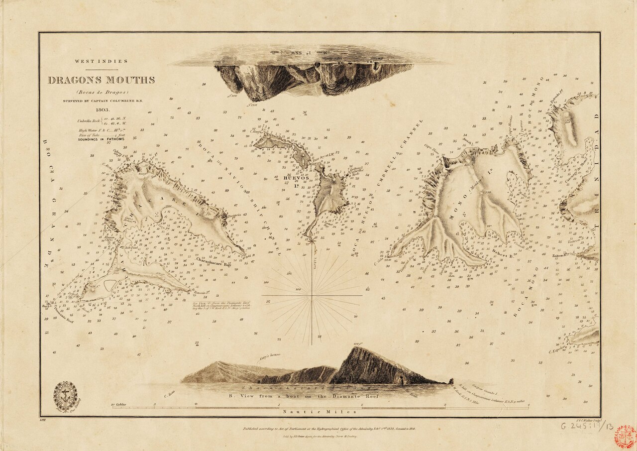
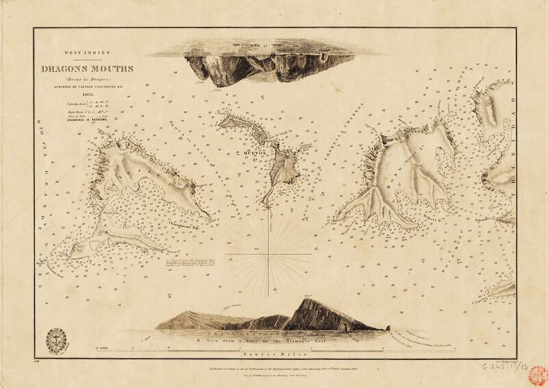
Admiralty Chart No. 1121, West Indies: Dragons Mouths (Bocas de Dragos), surveyed by Captain E. H. Columbine RN in 1803 and published by the Hydrographic Office in 1838 (Royal Museums Greenwich, G245:19/13).
Source
- Original: "Admiralty Chart No 1121 West Indies Dragons Mouths (Bocas de Dragos) surveyed by Captain Columbine RN 1803. RMG F0067, Published 1838.tiff", surveyed by Captain Edward Henry Columbine in 1803 and published by the Hydrographic Office in 1838, on Wikimedia Commons.
Licensing
PUBLIC DOMAIN
Public domain: copyright has expired
This work is in the public domain because its copyright has expired. Admiralty chart surveyed by Edward Henry Columbine (died 1812) in 1803 and published in 1838
You are free to: Copy, modify and distribute the work, even for commercial purposes, without asking permission.
Check before reuse: Copyright terms differ between countries, and a photograph or scan of the work can carry its own terms. See the source given in the file description.
File history
Click on a date/time to view the file as it appeared at that time.
| Date/Time | Thumbnail | Dimensions | User | Comment | |
|---|---|---|---|---|---|
| current | 06:26, 3 November 2026 | | 1,280 × 906 (263 KB) | Eloise Zomia (talk | contribs) | Image for Trinidad and Tobago, from Wikimedia Commons (Public domain) |
You cannot overwrite this file.
File usage
The following 2 pages use this file:

