
File:Palk-Strait-MODIS-2018.jpg
More actions
Summary
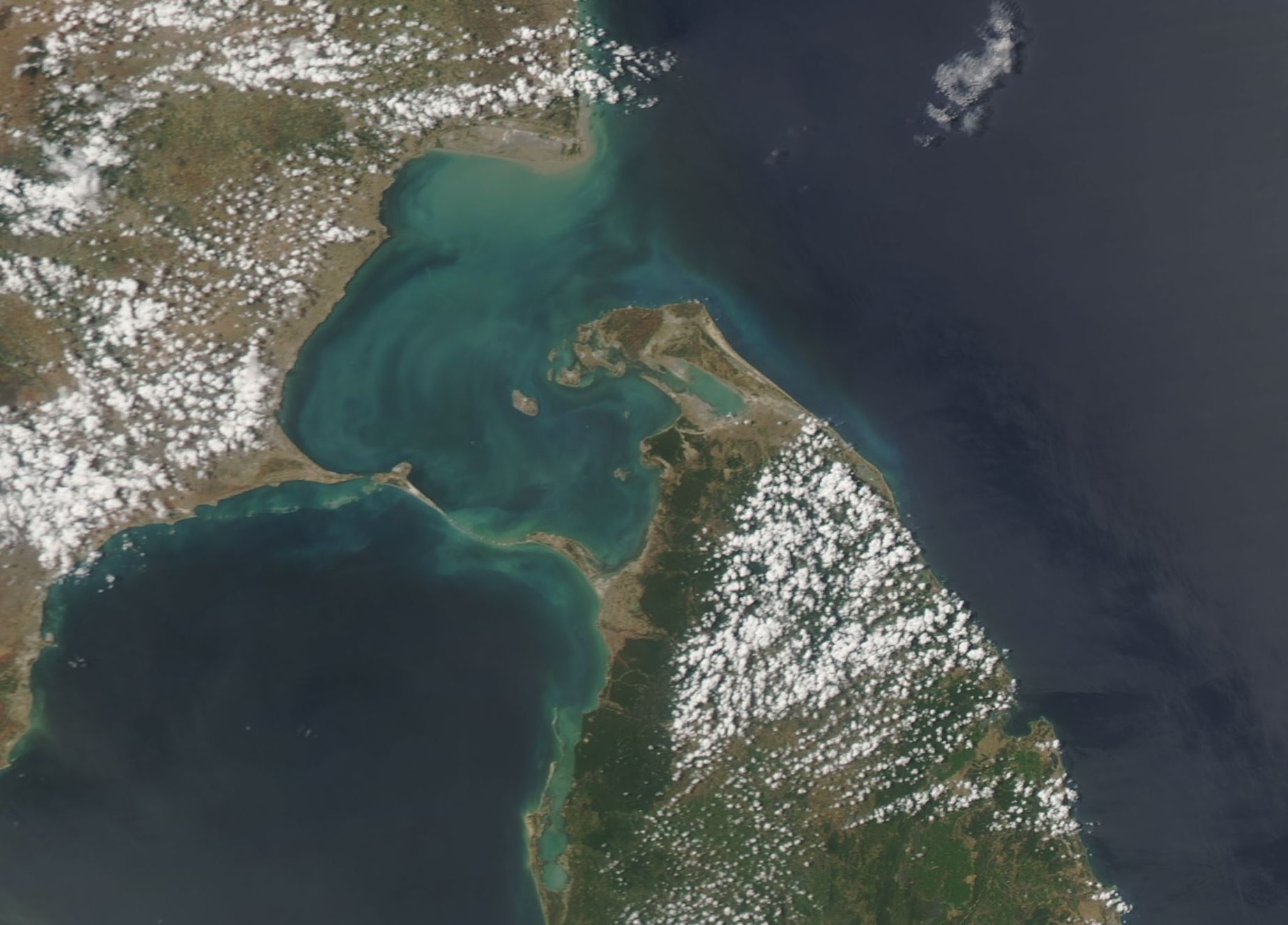
Satellite image of the Palk Strait between the southern tip of India and northern Sri Lanka, with Adam's Bridge across its southern end, taken by the MODIS instrument on NASA's Aqua satellite in July 2018.
Used in Palk Strait ganja trade.
Source
- Original: "Palk Strait (MODIS 2018-07-27).jpg", by Jeff Schmaltz, MODIS Land Rapid Response Team, NASA Goddard Space Flight Center, July 2018, on Wikimedia Commons.
- Changes: none; the file is as published (1847 × 1326 pixels).
- Identification: Palk Strait between India and Sri Lanka, MODIS image from NASA's Aqua satellite, July 2018.

Licensing
You are free to: Copy, modify and distribute the work, even for commercial purposes, without asking permission.
Check before reuse: The rule covers works made by federal employees as part of their jobs. A photograph taken by a contractor, or one that credits a private photographer, is not covered, and the law of other countries may differ. See the source given in the file description.
File history
Click on a date/time to view the file as it appeared at that time.
| Date/Time | Thumbnail | Dimensions | User | Comment | |
|---|---|---|---|---|---|
| current | 07:51, 31 October 2026 | | 1,847 × 1,326 (223 KB) | Eloise Zomia (talk | contribs) | Image for Palk Strait ganja trade, from Wikimedia Commons (Public domain (US federal work)) |
You cannot overwrite this file.
File usage
The following page uses this file:
