
File:Juan-Ulloa-1748-Valparaiso-plan.jpg
File on Landrace.wiki
More actions
Size of this preview: 800 × 539 pixels. Other resolution: 1,280 × 862 pixels.
Original file (1,280 × 862 pixels, file size: 494 KB, MIME type: image/jpeg)
Summary
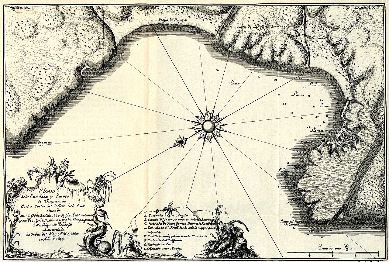
Plano de la Ensenada y Puerto de Valparaíso, plate X of Jorge Juan and Antonio de Ulloa, Relación histórica del viage a la América meridional (Madrid, 1748), from a survey of 1744.
Used in Cannabis in the Spanish Empire.
Source
- Original: "Plano del Puerto de Valparaiso del Reino de Chile (1744) - AHG.jpg", by Jojagal, 2012-02-29, on Wikimedia Commons.
- Changes: scaled down from 8265 × 5565 to 1280 × 862 pixels; no other change.
- Identification: Commons description and category: Relación Histórica del Viaje a la América Meridional; the plate's cartouche reads Plano de la Ensenada y Puerto de Valparaiso ... Año de 1744.

Licensing
PUBLIC DOMAIN
Public domain: copyright has expired
This work is in the public domain because its copyright has expired. Engraved for Jorge Juan and Antonio de Ulloa's Relación histórica del viage a la América meridional, published at Madrid in 1748.
You are free to: Copy, modify and distribute the work, even for commercial purposes, without asking permission.
Check before reuse: Copyright terms differ between countries, and a photograph or scan of the work can carry its own terms. See the source given in the file description.
File history
Click on a date/time to view the file as it appeared at that time.
| Date/Time | Thumbnail | Dimensions | User | Comment | |
|---|---|---|---|---|---|
| current | 23:31, 30 October 2026 | | 1,280 × 862 (494 KB) | Eloise Zomia (talk | contribs) | Image for Cannabis in the Spanish Empire, from Wikimedia Commons (Public domain) |
You cannot overwrite this file.
File usage
The following 2 pages use this file:
