
File:Vavilov-centres-of-origin-map.jpg
File on Landrace.wiki
More actions
Size of this preview: 800 × 491 pixels. Other resolution: 1,000 × 614 pixels.
Original file (1,000 × 614 pixels, file size: 70 KB, MIME type: image/jpeg)
Summary
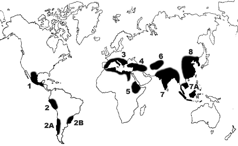
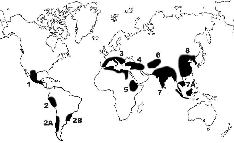
An outline map of the world showing the eight centres of origin of cultivated plants that Nikolai Vavilov named in 1935, shaded black, with the Indo-Malayan, Chiloé and Brazil–Paraguay sub-centres. The centres are numbered from west to east.
Used in Centre of origin.
Source
- Original: "Vavilov-center.jpg", by Redwoodseed, 2008-09-16, on Wikimedia Commons, first uploaded to the English Wikipedia.
- Changes: none; the original 1000 × 614 pixel file.
- Identification: Vavilov's centres of origin of cultivated plants.

Licensing

Creative Commons Attribution 3.0 Unported
This file is licensed under the CC BY 3.0 licence.
You are free to: Share and adapt for any purpose, even commercially.
You must: Give appropriate credit, provide a link to the licence, and indicate if changes were made.
File history
Click on a date/time to view the file as it appeared at that time.
| Date/Time | Thumbnail | Dimensions | User | Comment | |
|---|---|---|---|---|---|
| current | 20:57, 17 November 2026 | | 1,000 × 614 (70 KB) | Eloise Zomia (talk | contribs) | Image for Centre of origin: map of the eight centres of origin of cultivated plants named by Nikolai Vavilov in 1935, from Wikimedia Commons (CC BY 3.0) |
You cannot overwrite this file.
File usage
The following page uses this file:
