
File:Udawalawe-Sentinel-2-cloudless-2016.jpg
File on Landrace.wiki
More actions
Size of this preview: 800 × 500 pixels. Other resolution: 2,048 × 1,280 pixels.
Original file (2,048 × 1,280 pixels, file size: 827 KB, MIME type: image/jpeg)
Summary
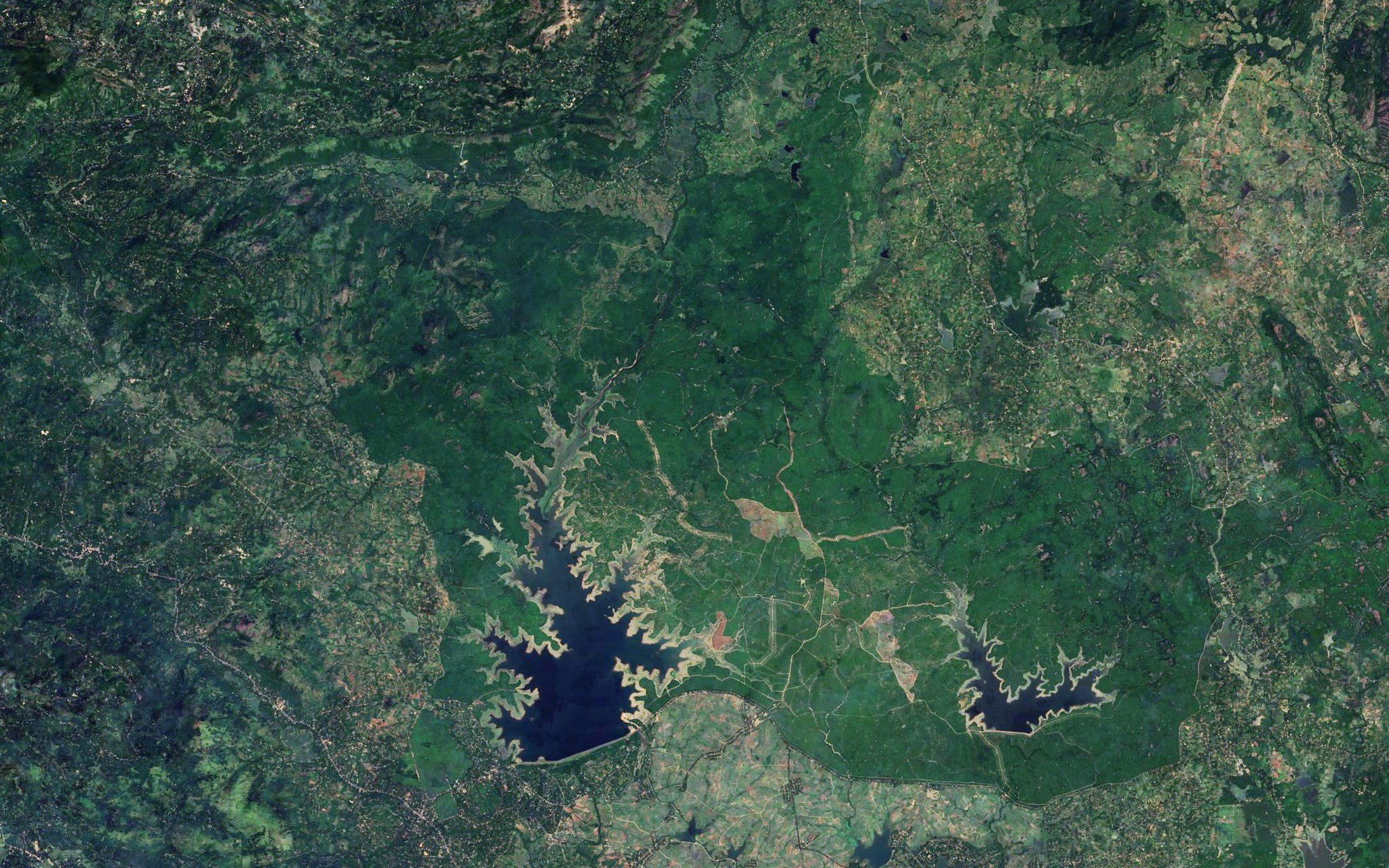
Satellite view of Udawalawe, Southern Sri Lanka, Sri Lanka.
Used as the infobox picture of Udawalawe.
Source
- Original: Sentinel-2 cloudless mosaic, 2016 edition, by EOX IT Services GmbH (map tiles of the layer
s2cloudless_3857at zoom level 13, about 20 m per pixel in this file). - Attribution: EOxCloudless https://cloudless.eox.at by EOX IT Services GmbH (Contains modified Copernicus Sentinel data 2016)
- Changes: 63 map tiles joined and cropped to the view, scaled from 2156 × 1348 to 2048 × 1280 pixels; levels stretched slightly and colour lifted a little; no labels, borders or other marks added.
- Identification: The view spans 6.397° N to 6.627° N and 80.684° E to 81.054° E, about 40.9 km across, framed on the border of Udawalawe on the wiki's map.
Licensing

Creative Commons Attribution 4.0 International
This file is licensed under the CC BY 4.0 license.
You are free to: Share and adapt for any purpose, even commercially.
You must: Give appropriate credit and indicate if changes were made.
File history
Click on a date/time to view the file as it appeared at that time.
| Date/Time | Thumbnail | Dimensions | User | Comment | |
|---|---|---|---|---|---|
| current | 19:40, 31 October 2026 | | 2,048 × 1,280 (827 KB) | Eloise Zomia (talk | contribs) | Satellite view of Udawalawe, from the Sentinel-2 cloudless 2016 mosaic by EOX (CC BY 4.0) |
You cannot overwrite this file.
File usage
The following page uses this file:
