
File:Tajikistan-iskanderkul.jpg
File on Landrace.wiki
More actions
Size of this preview: 800 × 533 pixels. Other resolution: 2,738 × 1,825 pixels.
Original file (2,738 × 1,825 pixels, file size: 1.24 MB, MIME type: image/jpeg)
Summary
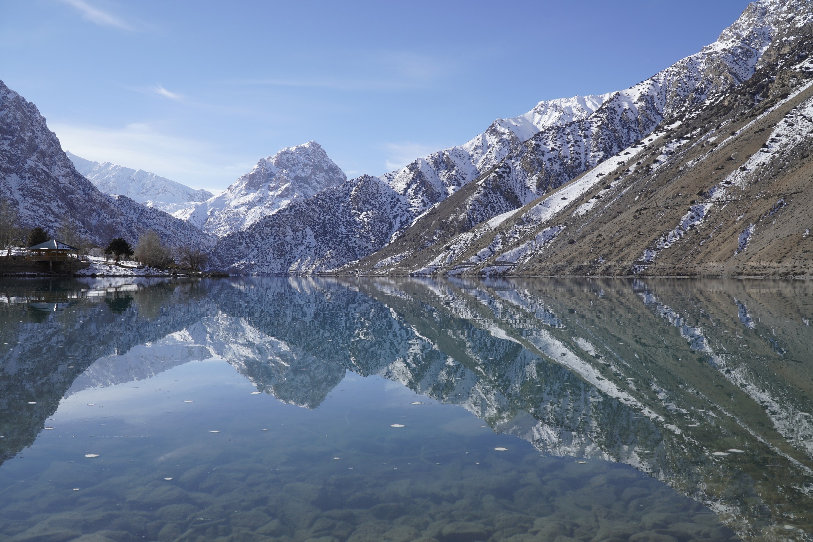
Iskanderkul, Tajikistan (39.072° N, 68.355° E).
Used as the hero image on Tajikistan.
Source
- Original: "Iskenderkul", photograph by Emad Nemati, 15 December 2018, on Wikimedia Commons.
- Changes: reduced from 3000 × 2000 to 2738 × 1825 pixels; not cropped.
- Location: the Commons file carries the coordinates 39.072070° N, 68.354551° E; its description reads "iskenderkul", and it is filed in the Commons categories Iskanderkul and Landscapes of Tajikistan.

Licensing

Creative Commons Attribution-ShareAlike 4.0 International
This file is licensed under the CC BY-SA 4.0 license.
You are free to: Share and adapt for any purpose, even commercially.
You must: Give appropriate credit, indicate changes, and distribute adaptations under the same license.
File history
Click on a date/time to view the file as it appeared at that time.
| Date/Time | Thumbnail | Dimensions | User | Comment | |
|---|---|---|---|---|---|
| current | 03:34, 14 October 2026 | | 2,738 × 1,825 (1.24 MB) | Eloise Zomia (talk | contribs) | Hero photograph for the Tajikistan country page (CC BY-SA 4.0, from Wikimedia Commons) |
You cannot overwrite this file.
File usage
The following 2 pages use this file:
