
File:Samoeng-drone-view-2021-11-03.jpg
File on Landrace.wiki
More actions
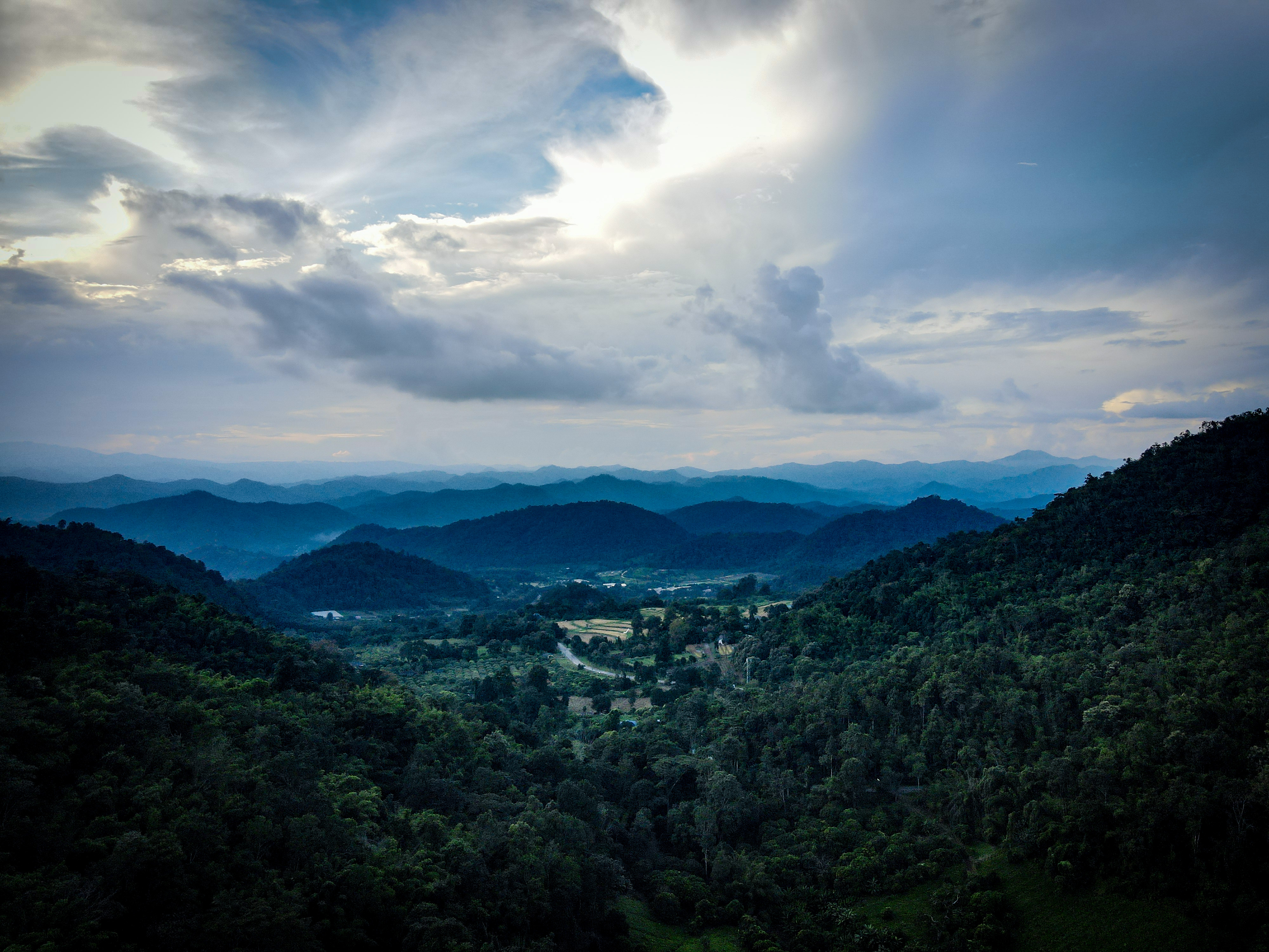
Size of this preview: 800 × 600 pixels. Other resolutions: 2,560 × 1,920 pixels | 4,000 × 3,000 pixels.
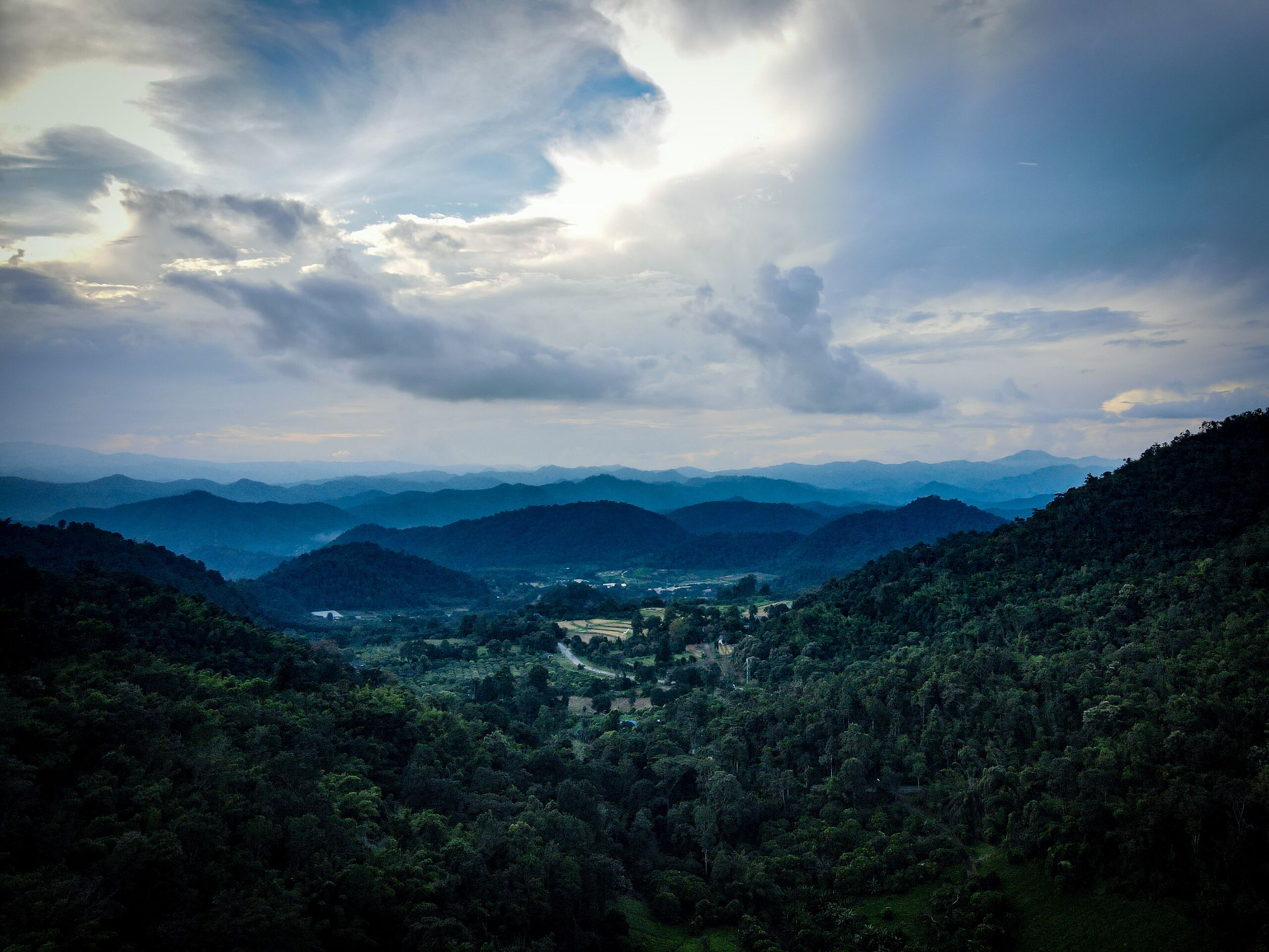
Original file (4,000 × 3,000 pixels, file size: 3.19 MB, MIME type: image/jpeg)
Summary
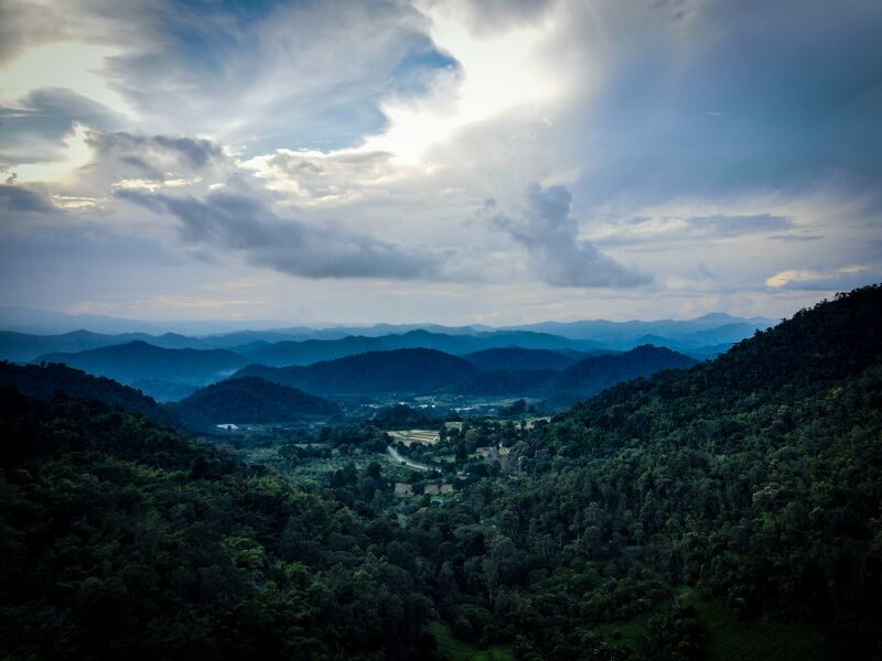
Forested hills around a valley with a road and small fields in Samoeng Tai subdistrict, Samoeng District, Chiang Mai Province, Thailand, with mountain ranges beyond. Photographed from a drone by Éloïse on 3 November 2021.
© Zomia Collective 2021
Source
- Original: the photographer's own drone photograph (DJI Mavic Air 2).
- Changes: exposure, contrast, highlights and shadows adjusted by the photographer; GPS position and device serial number removed from the file's metadata.
Licensing

Creative Commons Attribution-NonCommercial-ShareAlike 4.0 International
This file is licensed under the CC BY-NC-SA 4.0 license.
You are free to: Share and adapt for non-commercial purposes only.
You must: Give appropriate credit, indicate changes, distribute adaptations under the same license, and not use for commercial purposes.
File history
Click on a date/time to view the file as it appeared at that time.
| Date/Time | Thumbnail | Dimensions | User | Comment | |
|---|---|---|---|---|---|
| current | 21:43, 30 October 2026 | | 4,000 × 3,000 (3.19 MB) | Eloise Zomia (talk | contribs) | Drone photograph of Samoeng District, 3 November 2021 |
You cannot overwrite this file.
File usage
The following 5 pages use this file:

