
File:Natewa-Peninsula-Sentinel-2-cloudless-2016.jpg
File on Landrace.wiki
More actions
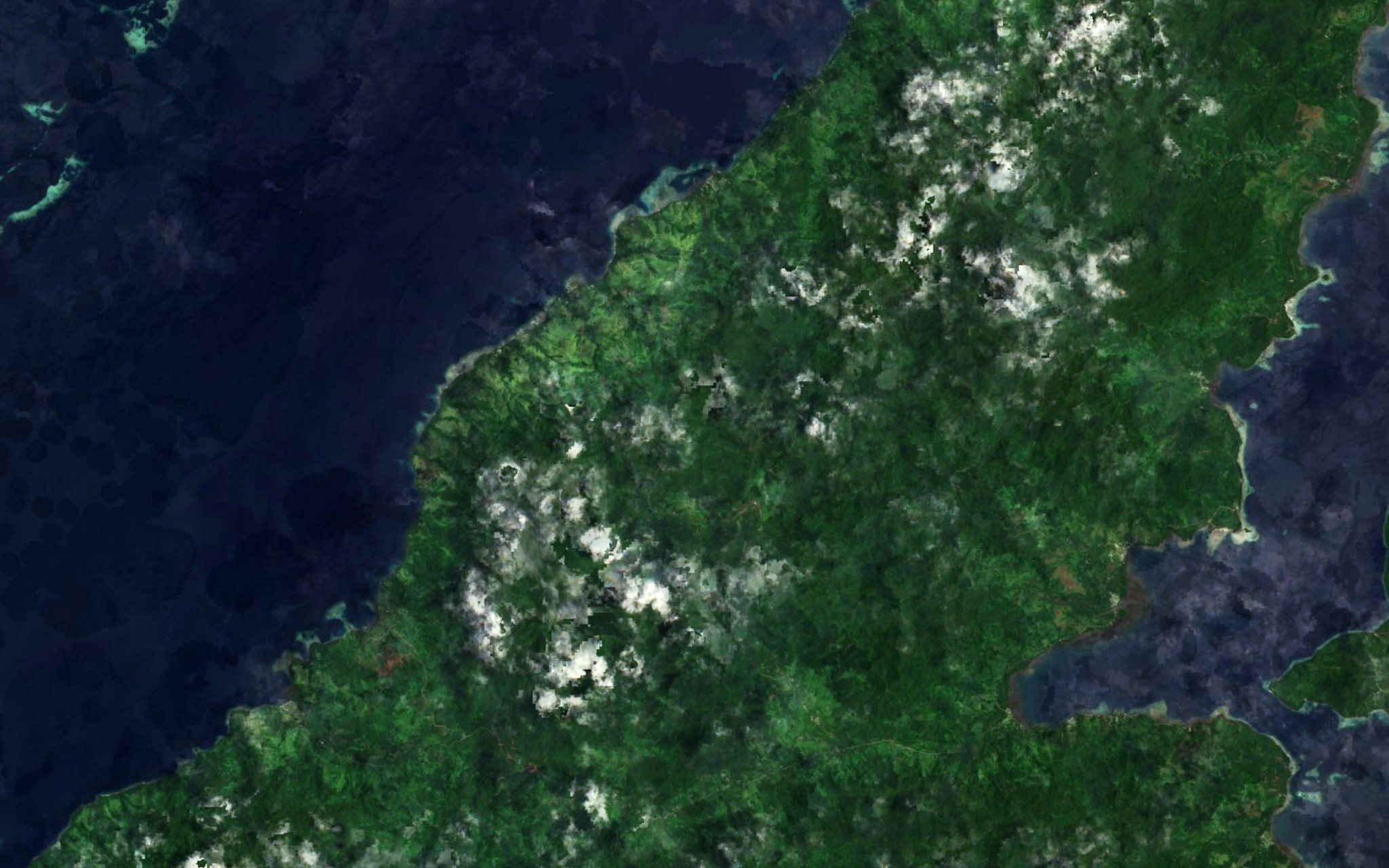
Size of this preview: 800 × 500 pixels. Other resolution: 2,048 × 1,280 pixels.
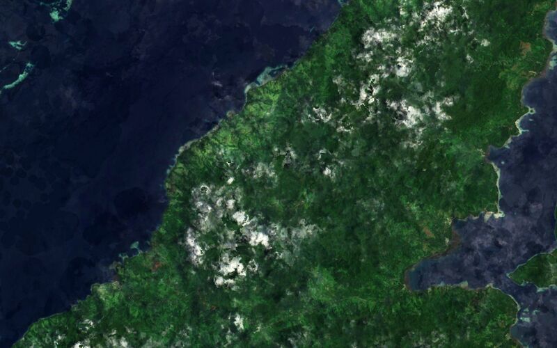
Original file (2,048 × 1,280 pixels, file size: 399 KB, MIME type: image/jpeg)
Summary
Satellite view of Natewa Peninsula, Fiji.
Source
- Original: Sentinel-2 cloudless mosaic, 2016 edition, by EOX IT Services GmbH (map tiles of the layer
s2cloudless_3857at zoom level 14, about 14.5 m per pixel in this file). - Attribution: EOxCloudless https://cloudless.eox.at by EOX IT Services GmbH (Contains modified Copernicus Sentinel data 2016)
- Changes: 126 map tiles joined and cropped to the view; levels stretched slightly and colour lifted a little; no labels, borders or other marks added.
Licensing

Creative Commons Attribution 4.0 International
This file is licensed under the CC BY 4.0 license.
You are free to: Share and adapt for any purpose, even commercially.
You must: Give appropriate credit and indicate if changes were made.
File history
Click on a date/time to view the file as it appeared at that time.
| Date/Time | Thumbnail | Dimensions | User | Comment | |
|---|---|---|---|---|---|
| current | 19:36, 31 October 2026 | | 2,048 × 1,280 (399 KB) | Eloise Zomia (talk | contribs) | Satellite view of Natewa Peninsula, from the Sentinel-2 cloudless 2016 mosaic by EOX (CC BY 4.0) |
You cannot overwrite this file.
File usage
The following 2 pages use this file:

