
File:Karakoram-Pass-area-from-ISS-2016.jpg
File on Landrace.wiki
More actions
Size of this preview: 800 × 476 pixels. Other resolution: 1,280 × 761 pixels.
Original file (1,280 × 761 pixels, file size: 361 KB, MIME type: image/jpeg)
Summary
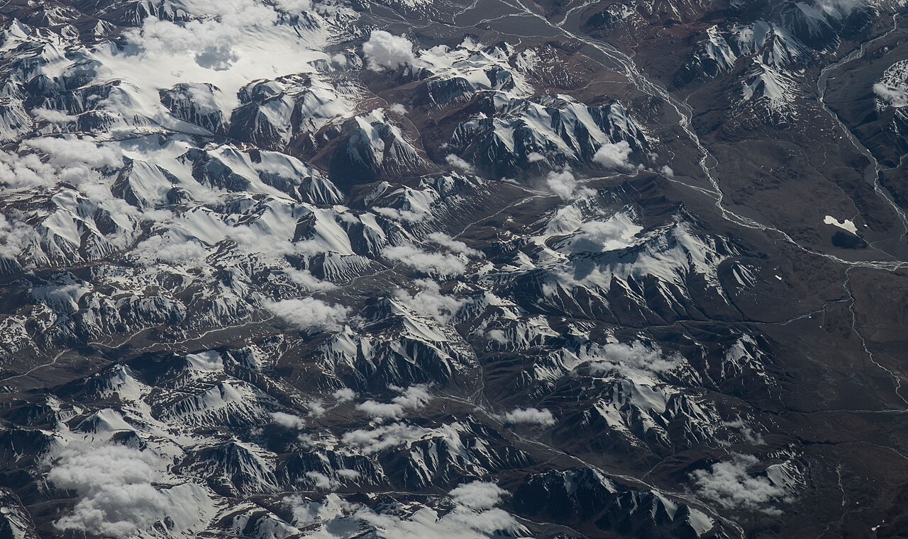
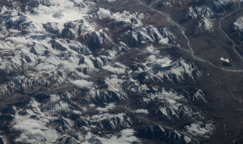
The Karakoram Pass area, with the Lungpa Ngonpo valley and the upper Yarkand River, photographed from the International Space Station during Expedition 48 (25 June 2016).
Used in Yarkand charas trade.
Source
- Original: File:ISS048-E-12977 - View of Earth - Karakoram Pass - Lungpa Ngonpo valley - Yarkand River - Karakoram China-India border glacier (cropped).jpg, https://commons.wikimedia.org/wiki/File%3AISS048-E-12977_-_View_of_Earth_-_Karakoram_Pass_-_Lungpa_Ngonpo_valley_-_Yarkand_River_-_Karakoram_China-India_border_glacier_%28cropped%29.jpg.
- Changes: scaled down from 3220 × 1914 to 1280 × 761 pixels; no other change.
- Identification: Commons title and categories name the Karakoram Pass and the Yarkand River; NASA Earth Science and Remote Sensing Unit, ISS048-E-12977.

Licensing
PUBLIC DOMAIN
Public domain: a work of the United States federal government
This file is a work of an officer or employee of the United States federal government (NASA), made as part of their official duties. Under 17 U.S.C. § 105 such works are not protected by copyright in the United States.
You are free to: Copy, modify and distribute the work, even for commercial purposes, without asking permission.
Check before reuse: The rule covers works made by federal employees as part of their jobs. A photograph taken by a contractor, or one that credits a private photographer, is not covered, and the law of other countries may differ. See the source given in the file description.
File history
Click on a date/time to view the file as it appeared at that time.
| Date/Time | Thumbnail | Dimensions | User | Comment | |
|---|---|---|---|---|---|
| current | 23:31, 30 October 2026 | | 1,280 × 761 (361 KB) | Eloise Zomia (talk | contribs) | Image for Yarkand charas trade, from Wikimedia Commons (Public domain (US federal work)) |
You cannot overwrite this file.
File usage
The following page uses this file:
